Flood Markers Installed to Build Community Preparedness

The North Burnett region is no stranger to floods. In the past 10 years the Burnett catchment has seen two major floods which inundated homes in our community and four other rain events which significantly impacted and disrupted agricultural production within parts of the region.
One of the biggest concerns residents raise is the stress and anxiety of the unknown, whether a flood may or may not impact them, Mayor Rachel explained.
“We want to build the resilience of our community which enables them to take charge of their own safety. By giving residents the tools to understand and monitor the river heights people can make better, more informed decisions for their family and help elevate the stress of the unknown”.
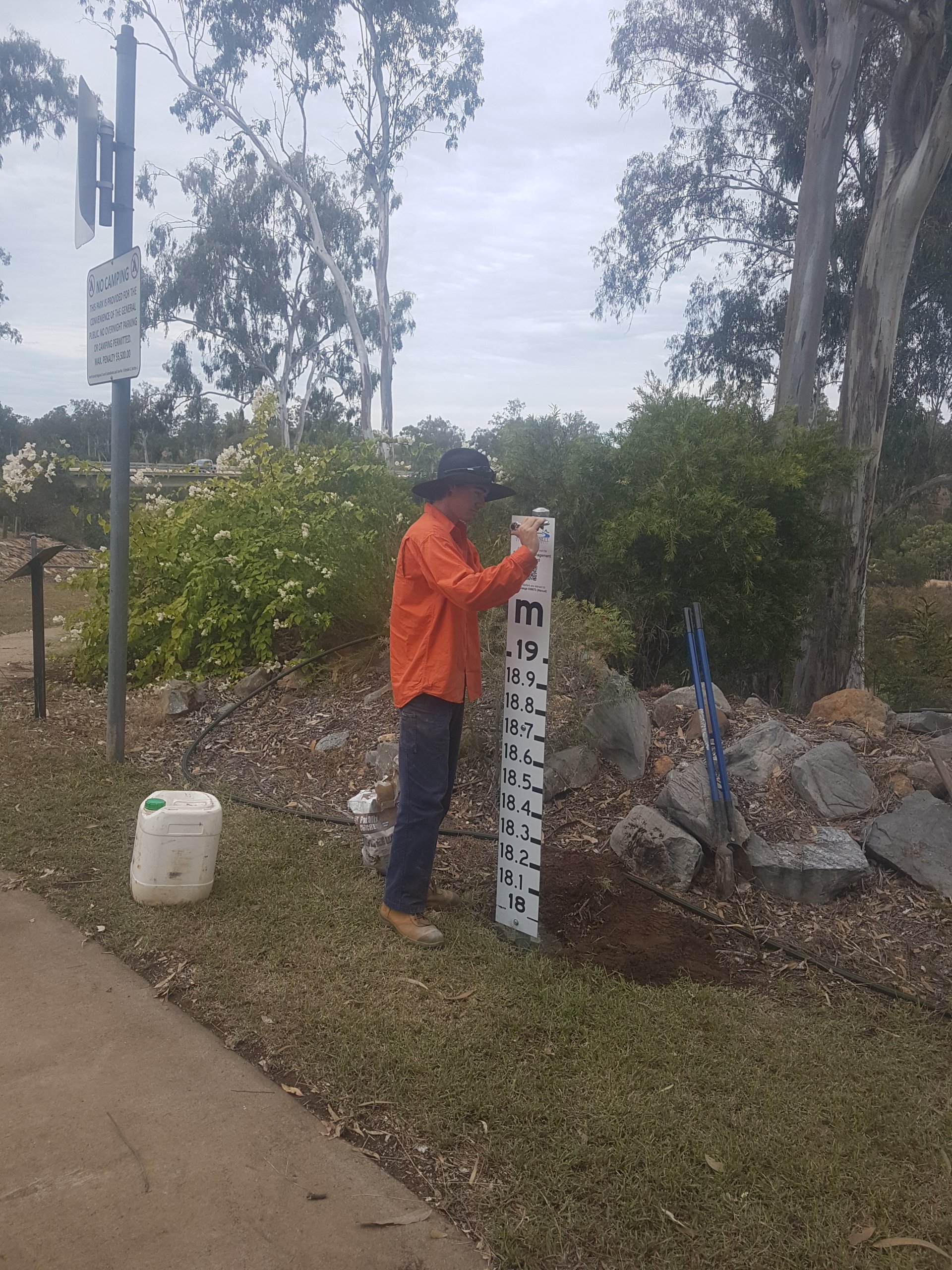
During June, the Flood Marker Project will see flood height markers installed throughout the townships of Gayndah and Mundubbera. The markers will be strategically placed throughout the region and will help to inform residents of flood heights relevant to the Bureau of Meteorology (BOM) forecast location and where possible Council has chosen locations which will be least disruptive.
For example, if BOM has predicted a 17 meter flood in Mundubbera, the Mundubbera community will be able to visit these markers and get a good idea of how high the water will rise. This new information will provide the tools for residents to make more informed decisions and better prepare their families and their home.
Flood information can be accessed on the Queensland Government FloodCheck Queensland website floodcheck.information.qld.gov.au/ and Council’s Emergency Management Dashboard emergency.northburnett.qld.gov.au/.
The North Burnett Flood Marker Project has been proudly funded by the Queensland State Government’s Get Ready Queensland Funding Program and North Burnett Regional Council.
