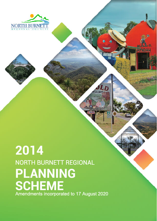
North Burnett Planning Scheme and LGIP

The current North Burnett Region Planning Scheme v1.4 has been prepared in accordance with the Planning Act 2016 and took effect on 17 August 2020.
A full copy of the North Burnett Regional Council Planning Scheme V1.4 and adopted maps are available to download below.
Zoning Maps
| Name | Number | Document View |
| Rural Sheet 1 of 8 | ZM-01 | View |
| Rural Sheet 2 of 8 | ZM-02 | View |
| Rural Sheet 3 of 8 | ZM-03 | View |
| Rural Sheet 4 of 8 | ZM-04 | View |
| Rural Sheet 5 of 8 | ZM-05 | View |
| Rural Sheet 6 of 8 | ZM-06 | View |
| Rural Sheet 7 of 8 | ZM-07 | View |
| Rural Sheet 8 of 8 | ZM-08 | View |
| Monto Sheet 1 of 2 | ZM-09 | View |
| Monto Sheet 2 of 2 | ZM-10 | View |
| Mount Perry | ZM-11 | View |
| Eidsvold | ZM-12 | View |
| Mundubbera | ZM-13 | View |
| Gayndah | ZM-14 | View |
| Biggenden | ZM-15 | View |
| Kalpowar, Mungungo, Moonford, Bancroft | ZM-16 | View |
| Mulgildie, Abercorn, Ideraway, Byrnestown | ZM-17 | View |
| Dallarnil, Degilbo, Coalstoun Lakes | ZM-18 | View |
Overlay Maps
| Name | Number | Document View |
| Extractive resources – Sheet 1 of 8 | OM-ER-01 | View |
| Extractive resources – Sheet 2 of 8 | OM-ER-02 | View |
| Extractive resources – Sheet 3 of 8 | OM-ER-03 | View |
| Extractive resources – Sheet 4 of 8 | OM-ER-04 | View |
| Extractive resources – Sheet 5 of 8 | OM-ER-05 | View |
| Extractive resources – Sheet 6 of 8 | OM-ER-06 | View |
| Extractive resources – Sheet 7 of 8 | OM-ER-07 | View |
| Extractive resources – Sheet 8 of 8 | OM-ER-08 | View |
| Flood hazard | Disclaimer | View |
| Flood hazard – Sheet 1 of 15 | OM-FH-01 | View |
| Flood hazard – Sheet 2 of 15 | OM-FH-02 | View |
| Flood hazard – Sheet 3 of 15 | OM-FH-03 | View |
| Flood hazard – Sheet 4 of 15 | OM-FH-04 | View |
| Flood hazard – Sheet 5 of 15 | OM-FH-05 | View |
| Flood hazard – Sheet 6 of 15 | OM-FH-06 | View |
| Flood hazard – Sheet 7 of 15 | OM-FH-07 | View |
| Flood hazard – Sheet 8 of 15 | OM-FH-08 | View |
| Flood Hazard – Moonford Sheet 9 of 15 | OM-FH-09 | View |
| Flood hazard – Monto Sheet 10 of 15 | OM-FH-010 | View |
| Flood hazard – Abercorn Sheet 11 of 15 | OM-FH-011 | View |
| Flood hazard – Ceratodus Sheet 12 of 15 | OM-FH-012 | View |
| Flood hazard – Eidsvold Sheet 13 of 15 | OM-FH-013 | View |
| Flood hazard – Mundubbera Sheet 14 of 15 | OM-FH-014 | View |
| Flood hazard – Gayndah Sheet 15 of 15 | OM-FH-015 | View |
| Infrastructure – Sheet 1 of 8 | OM-INFR-01 | View |
| Infrastructure – Sheet 2 of 8 | OM-INFR-02 | View |
| Infrastructure – Sheet 3 of 8 | OM-INFR-03 | View |
| Infrastructure – Sheet 4 of 8 | OM-INFR-04 | View |
| Infrastructure – Sheet 5 of 8 | OM-INFR-05 | View |
| Infrastructure – Sheet 6 of 8 | OM-INFR-06 | View |
| Infrastructure – Sheet 7 of 8 | OM-INFR-07 | View |
| Infrastructure – Sheet 8 of 8 | OM-INFR-08 | View |
| Historic Lots – Monto | OM-HL-01 | View |
| Historic Lots – Mount Perry | OM-HL-02 | View |
| Historic Lots – Eidsvold | OM-HL-03 | View |
| Historic Lots – Kalpowar, Mulgildie, Rawbelle, Bancroft | OM-HL-04 | View |
| Historic Lots – Abercorn, Wetheron, Ideraway, Byrnestown | OM-HL-05 | View |
| Historic Lots – Shamrock, Dallarnil, Lakeside | OM-HL-06 | View |
Local Government Infrastructure Plan (LGIP)
As at the 1 July 2018, the North Burnett Regional Council has not adopted a complying Local Government Infrastructure Plan. Part 4 of the planning scheme contains a ‘Priority infrastructure plan’ prepared under the repealed Sustainable Planning Act 2009. The effect of various provisions of the Planning Act 2016 is that the Priority infrastructure plan is now redundant, even though it remains as a published document.
Priority Infrastructure Plan Maps
| Name | Number | Document View |
| Priority Infrastructure Area – Monto | PIP-001 | View |
| Monto – Open Space, Recreation and Community Land | PIP-002 | View |
| Monto – Sewerage | PIP-003 | View |
| Monto – Transport | PIP-004 | View |
| Monto – Water | PIP-005 | View |
| Priority Infrastructure Area – Eidsvold | PIP-006 | View |
| Eidsvold – Open Space, Recreation and Community Land | PIP-007 | View |
| Eidsvold – Sewerage | PIP-008 | View |
| Eidsvold – Transport | PIP-009 | View |
| Eidsvold – Water | PIP-010 | View |
| Priority Infrastructure Area – Mount Perry | PIP-011 | View |
| Mount Perry – Open Space, Recreation and Community Land | PIP-012 | View |
| Mount Perry – Sewerage | PIP-013 | View |
| Mount Perry – Transport | PIP-014 | View |
| Mount Perry – Water | PIP-015 | View |
| Priority Infrastructure Area – Mundubbera | PIP-016 | View |
| Mundubbera – Open Space, Recreation and Community Land | PIP-017 | View |
| Mundubbera – Sewerage | PIP-018 | View |
| Mundubbera – Transport | PIP-019 | View |
| Mundubbera – Water | PIP-020 | View |
| Mundubbera – Stormwater | PIP-021 | View |
| Priority Infrastructure Area – Gayndah | PIP-022 | View |
| Gayndah – Open Space, Recreation and Community Land | PIP-023 | View |
| Gayndah – Sewerage | PIP-024 | View |
| Gayndah – Transport | PIP-025 | View |
| Gayndah – Water | PIP-026 | View |
| Gayndah – Stormwater | PIP-027 | View |
| Priority Infrastructure Area – Biggenden | PIP-028 | View |
| Biggenden – Open Space, Recreation and Community Land | PIP-029 | View |
| Biggenden – Sewerage | PIP-030 | View |
| Biggenden – Transport | PIP-031 | View |
| Biggenden – Water | PIP-032 | View |
| Biggenden – Stormwater | PIP-033 | View |

